
Ibarra topographic map
Interactive map
Click on the map to display elevation.
About this map
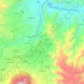
Name: Ibarra topographic map, elevation, terrain.
Location: Ibarra, Imbabura, Ecuador (0.26016 -78.17586 0.49989 -78.02502)
Average elevation: 2,398 m
Minimum elevation: 1,487 m
Maximum elevation: 4,533 m
Other topographic maps
Click on a map to view its topography, its elevation and its terrain.