
Goshen topographic map
Interactive map
Click on the map to display elevation.
About this map
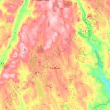
Name: Goshen topographic map, elevation, terrain.
Location: Goshen, Litchfield County, Connecticut, 06756, United States (41.77901 -73.30137 41.91619 -73.16501)
Average elevation: 374 m
Minimum elevation: 179 m
Maximum elevation: 506 m