
Jennings topographic map
Interactive map
Click on the map to display elevation.
About this map
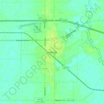
Name: Jennings topographic map, elevation, terrain.
Average elevation: 6 m
Minimum elevation: 1 m
Maximum elevation: 13 m
Jennings is located at 30°13′20″N 92°39′25″W / 30.22222°N 92.65694°W / 30.22222; -92.65694 (30.222207, -92.656880) and has an elevation of 26 feet (7.9 m).