
Pungru topographic map
Interactive map
Click on the map to display elevation.
About this map
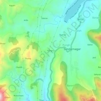
Name: Pungru topographic map, elevation, terrain.
Location: Pungru, Sundarnagar, Mandi, Himachal Pradesh, 175018, India (31.49756 76.85486 31.53756 76.89486)
Average elevation: 968 m
Minimum elevation: 819 m
Maximum elevation: 1,341 m