
Great Falls topographic map
Interactive map
Click on the map to display elevation.
About this map
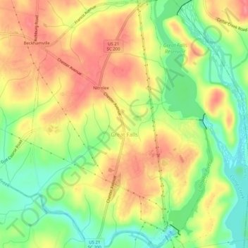
Name: Great Falls topographic map, elevation, terrain.
Average elevation: 128 m
Minimum elevation: 83 m
Maximum elevation: 168 m
Other topographic maps
Click on a map to view its topography, its elevation and its terrain.
Nitrolee
United States > South Carolina > Chester County > Great Falls
Nitrolee, Great Falls, Chester County, South Carolina, 29055, United States
Average elevation: 134 m