
Great Falls topographic map
Interactive map
Click on the map to display elevation.
About this map
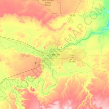
Name: Great Falls topographic map, elevation, terrain.
Location: Great Falls, Cascade County, Montana, 59401, United States (47.34489 -111.45189 47.66489 -111.13189)
Average elevation: 1,073 m
Minimum elevation: 859 m
Maximum elevation: 1,293 m