
Marsh Creek topographic map
Interactive map
Click on the map to display elevation.
About this map
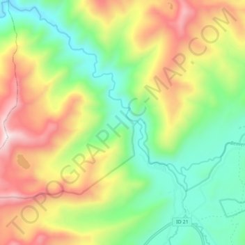
Name: Marsh Creek topographic map, elevation, terrain.
Location: Marsh Creek, Valley County, Idaho, United States (44.38815 -115.23092 44.44920 -115.16084)
Average elevation: 2,269 m
Minimum elevation: 1,886 m
Maximum elevation: 2,837 m
Other topographic maps
Click on a map to view its topography, its elevation and its terrain.
McCall
United States > Idaho > Valley County
McCall, Valley County, Idaho, 83638, United States
Average elevation: 1,546 m
Yellow Pine
United States > Idaho > Valley County
Yellow Pine, Valley County, Idaho, 83677, United States
Average elevation: 1,619 m
Buckhorn Summit
United States > Idaho > Valley County
Buckhorn Summit, Valley County, Idaho, United States
Average elevation: 2,294 m
Chief
United States > Idaho > Valley County
Chief, Valley County, Idaho, United States
Average elevation: 2,249 m