
Laurel topographic map
Interactive map
Click on the map to display elevation.
About this map
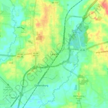
Name: Laurel topographic map, elevation, terrain.
Location: Laurel, Jones County, Mississippi, 39440, United States (31.65405 -89.17061 31.73405 -89.09061)
Average elevation: 77 m
Minimum elevation: 58 m
Maximum elevation: 111 m