
Fargo topographic map
Interactive map
Click on the map to display elevation.
About this map
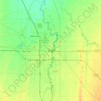
Name: Fargo topographic map, elevation, terrain.
Location: Fargo, Cass County, North Dakota, 58102-4608, United States (46.71723 -96.94982 47.03723 -96.62982)
Average elevation: 277 m
Minimum elevation: 267 m
Maximum elevation: 287 m