
Sadah topographic map
Interactive map
Click on the map to display elevation.
About this map
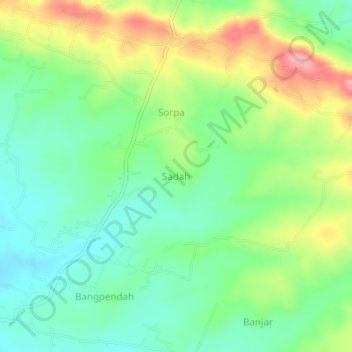
Name: Sadah topographic map, elevation, terrain.
Location: Sadah, Bangkalan, East Java, Indonesia (-7.07908 112.90142 -7.03908 112.94142)
Average elevation: 100 m
Minimum elevation: 51 m
Maximum elevation: 186 m