
Bitterroot Mountain topographic map
Interactive map
Click on the map to display elevation.
About this map
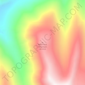
Name: Bitterroot Mountain topographic map, elevation, terrain.
Location: Bitterroot Mountain, Lemhi County, Idaho, United States (45.49181 -113.79457 45.49191 -113.79447)
Average elevation: 2,298 m
Minimum elevation: 1,790 m
Maximum elevation: 2,714 m
Other topographic maps
Click on a map to view its topography, its elevation and its terrain.
Salmon
United States > Idaho > Lemhi County
Salmon, Lemhi County, Idaho, 83467, United States
Average elevation: 1,247 m