
Highlands topographic map
Interactive map
Click on the map to display elevation.
About this map
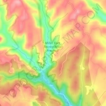
Name: Highlands topographic map, elevation, terrain.
Location: Highlands, Lee County, Kentucky, 41397, United States (37.64691 -83.67579 37.64739 -83.67533)
Average elevation: 308 m
Minimum elevation: 232 m
Maximum elevation: 353 m