
Blaxton topographic map
Interactive map
Click on the map to display elevation.
About this map
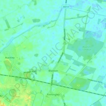
Name: Blaxton topographic map, elevation, terrain.
Average elevation: 5 m
Minimum elevation: -2 m
Maximum elevation: 17 m
Blaxton is a village in the Metropolitan Borough of Doncaster (part of South Yorkshire, England), on the border with Lincolnshire. It lies to the north of Finningley, on the A614 road, and is located at approximately 53° 29' 30" North, 0° 59' West, at an elevation of around 5 metres above sea level. It has a population of 1,179, reducing slightly to 1,162 at the 2011 Census