
West Haven topographic map
Interactive map
Click on the map to display elevation.
About this map
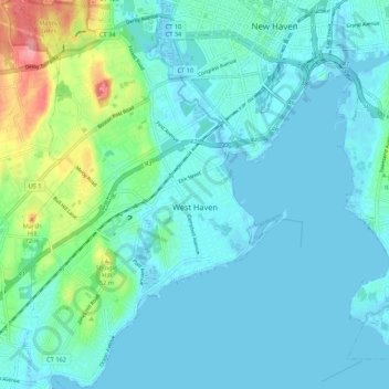
Name: West Haven topographic map, elevation, terrain.
Location: West Haven, New Haven County, Connecticut, United States (41.23285 -72.99464 41.31330 -72.92419)
Average elevation: 16 m
Minimum elevation: -2 m
Maximum elevation: 95 m