
Summit topographic map
Interactive map
Click on the map to display elevation.
About this map
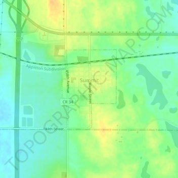
Name: Summit topographic map, elevation, terrain.
Location: Summit, Roberts County, South Dakota, United States (45.29699 -97.04237 45.30902 -97.03062)
Average elevation: 609 m
Minimum elevation: 596 m
Maximum elevation: 625 m
Summit was laid out in 1892, and was so named on account of the town site's lofty elevation.