
Slade topographic map
Interactive map
Click on the map to display elevation.
About this map
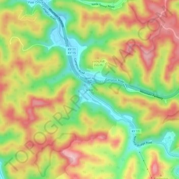
Name: Slade topographic map, elevation, terrain.
Location: Slade, Powell County, Kentucky, 40376, United States (37.77508 -83.72408 37.81508 -83.68408)
Average elevation: 311 m
Minimum elevation: 210 m
Maximum elevation: 409 m
Other topographic maps
Click on a map to view its topography, its elevation and its terrain.
Stanton
United States > Kentucky > Powell County
Stanton, Powell County, Kentucky, United States
Average elevation: 215 m