
Yorktown topographic map
Interactive map
Click on the map to display elevation.
About this map
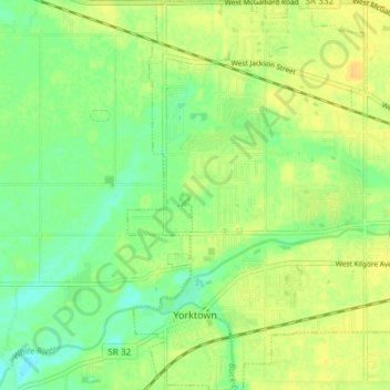
Name: Yorktown topographic map, elevation, terrain.
Location: Yorktown, Delaware County, Indiana, United States (40.16270 -85.50705 40.21944 -85.44266)
Average elevation: 282 m
Minimum elevation: 269 m
Maximum elevation: 293 m