
Lathum topographic map
Interactive map
Click on the map to display elevation.
About this map
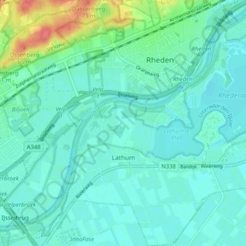
Name: Lathum topographic map, elevation, terrain.
Location: Lathum, Zevenaar, Gelderland, Netherlands (51.97089 6.00173 52.01502 6.06842)
Average elevation: 16 m
Minimum elevation: 3 m
Maximum elevation: 68 m