
Pence topographic map
Interactive map
Click on the map to display elevation.
About this map
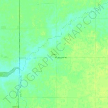
Name: Pence topographic map, elevation, terrain.
Location: Pence, Warren County, Indiana, United States (40.34115 -87.53141 40.38115 -87.49141)
Average elevation: 215 m
Minimum elevation: 206 m
Maximum elevation: 221 m
Other topographic maps
Click on a map to view its topography, its elevation and its terrain.
Warren County
United States > Indiana > Warren County
Warren County, Indiana, United States
Average elevation: 208 m