
Sekyere topographic map
Interactive map
Click on the map to display elevation.
About this map
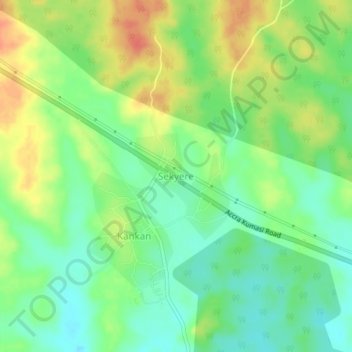
Name: Sekyere topographic map, elevation, terrain.
Location: Sekyere, Atiwa East District, Eastern Region, Ghana (6.43282 -0.63560 6.47282 -0.59560)
Average elevation: 197 m
Minimum elevation: 174 m
Maximum elevation: 227 m