
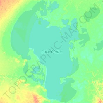
Lake Claire topographic map
Interactive map
Click on the map to display elevation.
About this map
Name: Lake Claire topographic map, elevation, terrain.
Location: Lake Claire, Improvement District No. 24, Alberta, Canada (58.30933 -112.47787 58.83617 -111.70077)
Average elevation: 212 m
Minimum elevation: 206 m
Maximum elevation: 246 m
The lake has a total area of 1,436 km2 (554 sq mi), with 21 km2 (8.1 sq mi) island area, and lies at an elevation of 213 m (699 ft). It is the largest lake located entirely within Albertan boundaries. Lake Athabasca, which straddles the border with Saskatchewan, is larger.