
Kingsland topographic map
Interactive map
Click on the map to display elevation.
About this map
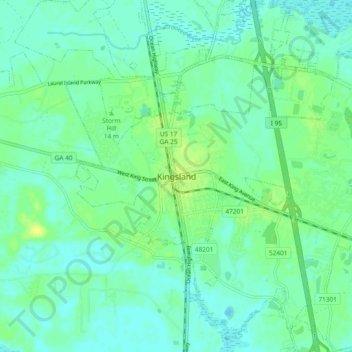
Name: Kingsland topographic map, elevation, terrain.
Location: Kingsland, Camden County, Georgia, 31548, United States (30.75996 -81.72983 30.83996 -81.64983)
Average elevation: 6 m
Minimum elevation: -2 m
Maximum elevation: 17 m