
Ossian topographic map
Interactive map
Click on the map to display elevation.
About this map
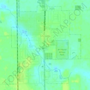
Name: Ossian topographic map, elevation, terrain.
Location: Ossian, Wells County, Indiana, United States (40.86567 -85.17967 40.88995 -85.15546)
Average elevation: 253 m
Minimum elevation: 246 m
Maximum elevation: 259 m
The controversy raged on into the early years of the 19th century, with disputes as to whether the poems were based on Irish sources, on sources in English, on Gaelic fragments woven into his own composition as Johnson concluded, or largely on Scots Gaelic oral traditions and manuscripts as Macpherson claimed. In the late 19th century, it was demonstrated that the only "original" Gaelic manuscripts that Macpherson produced for the poems were in fact back-translations of his work from English. During the same period, Peter Hately Waddell defended the authenticity of the poems, arguing in Ossian and the Clyde (1875) that poems contained topographical references that could not have been known to Macpherson.