
Kanchi topographic map
Interactive map
Click on the map to display elevation.
About this map
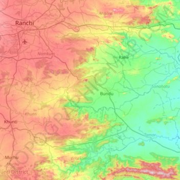
Name: Kanchi topographic map, elevation, terrain.
Location: Kanchi, Sonahatu, Ranchi, Jharkhand, 835243, India (23.10656 85.25936 23.23679 85.83952)
Average elevation: 453 m
Minimum elevation: 198 m
Maximum elevation: 872 m