
North Koel River topographic map
Interactive map
Click on the map to display elevation.
About this map
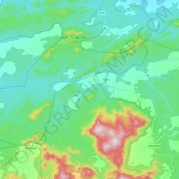
Name: North Koel River topographic map, elevation, terrain.
Location: North Koel River, Garu, Latehar, Jharkhand, 829204, India (23.63200 84.09235 23.68907 84.31654)
Average elevation: 515 m
Minimum elevation: 343 m
Maximum elevation: 1,106 m