
Winona Lake topographic map
Interactive map
Click on the map to display elevation.
About this map
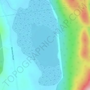
Name: Winona Lake topographic map, elevation, terrain.
Location: Winona Lake, Bristol, Addison County, Vermont, United States (44.16560 -73.09387 44.17887 -73.08190)
Average elevation: 188 m
Minimum elevation: 138 m
Maximum elevation: 411 m