
Miracle topographic map
Interactive map
Click on the map to display elevation.
About this map
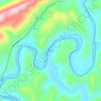
Name: Miracle topographic map, elevation, terrain.
Location: Miracle, Bell County, Kentucky, 40813, United States (36.74064 -83.60408 36.78064 -83.56408)
Average elevation: 413 m
Minimum elevation: 312 m
Maximum elevation: 708 m