
Forest Hills topographic map
Interactive map
Click on the map to display elevation.
About this map
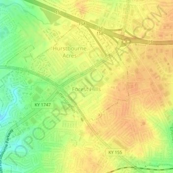
Name: Forest Hills topographic map, elevation, terrain.
Location: Forest Hills, Jefferson County, Kentucky, United States (38.21033 -85.59107 38.22116 -85.57733)
Average elevation: 202 m
Minimum elevation: 180 m
Maximum elevation: 212 m