
Lower Grand River topographic map
Interactive map
Click on the map to display elevation.
About this map
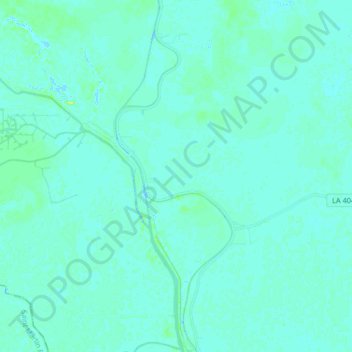
Name: Lower Grand River topographic map, elevation, terrain.
Average elevation: 3 m
Minimum elevation: -1 m
Maximum elevation: 17 m
Other topographic maps
Click on a map to view its topography, its elevation and its terrain.
White Castle
United States > Louisiana > Iberville Parish
White Castle, Iberville Parish, Louisiana, United States
Average elevation: 5 m