
Narasaraopet topographic map
Interactive map
Click on the map to display elevation.
About this map
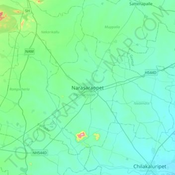
Name: Narasaraopet topographic map, elevation, terrain.
Location: Narasaraopet, Guntur, Andhra Pradesh, 522600, India (16.07892 79.88729 16.39892 80.20729)
Average elevation: 76 m
Minimum elevation: 19 m
Maximum elevation: 458 m