
Holset topographic map
Interactive map
Click on the map to display elevation.
About this map
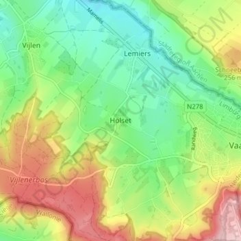
Name: Holset topographic map, elevation, terrain.
Location: Holset, Lemiers, Vaals, Limburg, Netherlands, 6291, Netherlands (50.75518 5.96783 50.79518 6.00783)
Average elevation: 208 m
Minimum elevation: 132 m
Maximum elevation: 324 m