
Jay topographic map
Interactive map
Click on the map to display elevation.
About this map
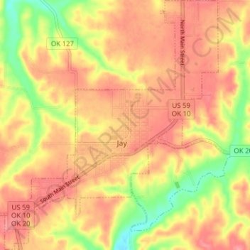
Name: Jay topographic map, elevation, terrain.
Location: Jay, Delaware County, Oklahoma, United States (36.40091 -94.82749 36.45237 -94.77335)
Average elevation: 306 m
Minimum elevation: 255 m
Maximum elevation: 336 m