
Chhati topographic map
Interactive map
Click on the map to display elevation.
About this map
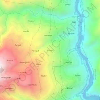
Name: Chhati topographic map, elevation, terrain.
Location: Chhati, Nakot, Tehri, Tehri Garhwal, Uttarakhand, India (30.29614 78.45448 30.33614 78.49448)
Average elevation: 1,043 m
Minimum elevation: 566 m
Maximum elevation: 1,740 m