
McGill topographic map
Interactive map
Click on the map to display elevation.
About this map
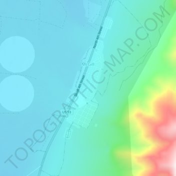
Name: McGill topographic map, elevation, terrain.
Location: McGill, White Pine County, Nevada, 89318, United States (39.38310 -114.79339 39.41782 -114.76255)
Average elevation: 1,973 m
Minimum elevation: 1,860 m
Maximum elevation: 2,516 m