
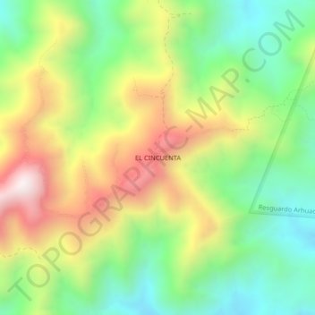
EL CINCUENTA topographic map
Interactive map
Click on the map to display elevation.
About this map
Name: EL CINCUENTA topographic map, elevation, terrain.
Location: EL CINCUENTA, Fundación, Magdalena, Colombia (10.45074 -73.89768 10.49074 -73.85768)
Average elevation: 1,246 m
Minimum elevation: 856 m
Maximum elevation: 1,795 m