
Texarkana topographic map
Interactive map
Click on the map to display elevation.
About this map
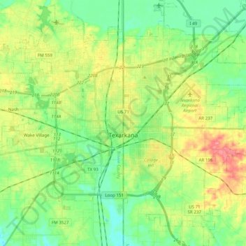
Name: Texarkana topographic map, elevation, terrain.
Location: Texarkana, Miller County, Arkansas, 71854, United States (33.35186 -94.04320 33.51506 -93.91616)
Average elevation: 99 m
Minimum elevation: 66 m
Maximum elevation: 156 m