
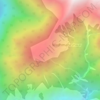
Budha Madmaheshwar topographic map
Interactive map
Click on the map to display elevation.
About this map
Name: Budha Madmaheshwar topographic map, elevation, terrain.
Location: Budha Madmaheshwar, Ukhimath, Rudraprayag, Uttarakhand, India (30.63058 79.21141 30.63600 79.22113)
Average elevation: 3,045 m
Minimum elevation: 2,284 m
Maximum elevation: 3,815 m