
Chittenden Reservoir topographic map
Interactive map
Click on the map to display elevation.
About this map
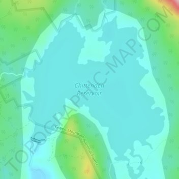
Name: Chittenden Reservoir topographic map, elevation, terrain.
Average elevation: 473 m
Minimum elevation: 438 m
Maximum elevation: 633 m
Other topographic maps
Click on a map to view its topography, its elevation and its terrain.
Chittenden
United States > Vermont > Rutland County > Chittenden
Chittenden, Rutland County, Vermont, 05737, United States
Average elevation: 473 m