
Green Mountain National Forest topographic map
Interactive map
Click on the map to display elevation.
About this map
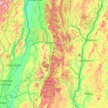
Name: Green Mountain National Forest topographic map, elevation, terrain.
Average elevation: 345 m
Minimum elevation: 3 m
Maximum elevation: 1,410 m
Other topographic maps
Click on a map to view its topography, its elevation and its terrain.
Hortonville
United States > Vermont > Rutland County > Mount Holly
Hortonville, Mount Holly, Rutland County, Vermont, 05758, United States
Average elevation: 497 m