
Medicine Lodge topographic map
Interactive map
Click on the map to display elevation.
About this map
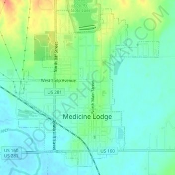
Name: Medicine Lodge topographic map, elevation, terrain.
Location: Medicine Lodge, Barber County, Kansas, 67104, United States (37.27336 -98.59371 37.29777 -98.56644)
Average elevation: 457 m
Minimum elevation: 443 m
Maximum elevation: 487 m