
Haynes topographic map
Interactive map
Click on the map to display elevation.
About this map
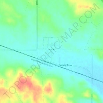
Name: Haynes topographic map, elevation, terrain.
Location: Haynes, Adams County, North Dakota, United States (45.96979 -102.47424 45.97730 -102.46805)
Average elevation: 789 m
Minimum elevation: 770 m
Maximum elevation: 827 m