
Katihar topographic map
Interactive map
Click on the map to display elevation.
About this map
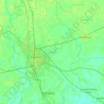
Name: Katihar topographic map, elevation, terrain.
Location: Katihar, Bihar, India (25.47687 87.52121 25.62473 87.63955)
Average elevation: 31 m
Minimum elevation: 25 m
Maximum elevation: 36 m