
Rock Hill topographic map
Interactive map
Click on the map to display elevation.
About this map
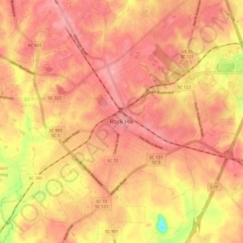
Name: Rock Hill topographic map, elevation, terrain.
Location: Rock Hill, York County, South Carolina, 29731, United States (34.88487 -81.06508 34.96487 -80.98508)
Average elevation: 185 m
Minimum elevation: 114 m
Maximum elevation: 213 m