
Alva topographic map
Interactive map
Click on the map to display elevation.
About this map
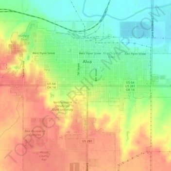
Name: Alva topographic map, elevation, terrain.
Location: Alva, Woods County, Oklahoma, 73717, United States (36.76131 -98.69084 36.81221 -98.62153)
Average elevation: 436 m
Minimum elevation: 396 m
Maximum elevation: 459 m