
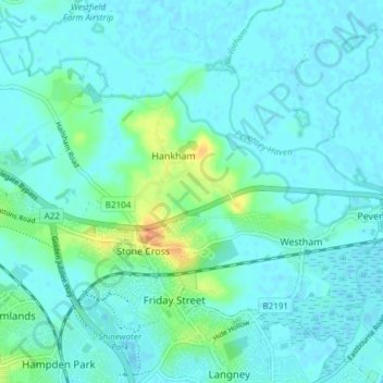
Westham topographic map
Interactive map
Click on the map to display elevation.
About this map
Name: Westham topographic map, elevation, terrain.
Average elevation: 6 m
Minimum elevation: -6 m
Maximum elevation: 35 m
Other topographic maps
Click on a map to view its topography, its elevation and its terrain.
Hankham
United Kingdom > England > East Sussex > Wealden > Hankham
Hankham, Wealden, East Sussex, South East England, England, BN24 5BA, United Kingdom
Average elevation: 7 m