
Cabo Rojo topographic map
Interactive map
Click on the map to display elevation.
About this map
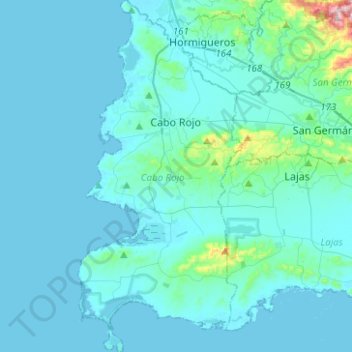
Name: Cabo Rojo topographic map, elevation, terrain.
Location: Cabo Rojo, Puerto Rico, United States (17.93115 -67.21535 18.16827 -67.09853)
Average elevation: 35 m
Minimum elevation: -2 m
Maximum elevation: 487 m