
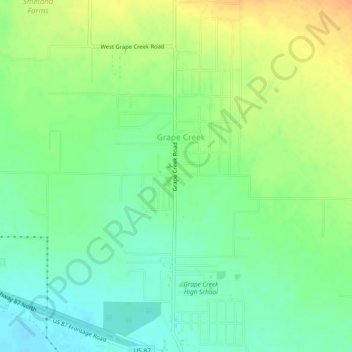
Grape Creek topographic map
Interactive map
Click on the map to display elevation.
About this map
Name: Grape Creek topographic map, elevation, terrain.
Location: Grape Creek, Tom Green County, Texas, United States (31.56082 -100.56715 31.60082 -100.52715)
Average elevation: 609 m
Minimum elevation: 593 m
Maximum elevation: 628 m