
Oxbow Nature Study Area topographic map
Interactive map
Click on the map to display elevation.
About this map
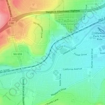
Name: Oxbow Nature Study Area topographic map, elevation, terrain.
Average elevation: 1,415 m
Minimum elevation: 1,377 m
Maximum elevation: 1,500 m