
Stonewell topographic map
Interactive map
Click on the map to display elevation.
About this map
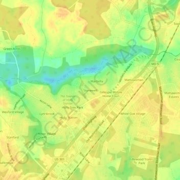
Name: Stonewell topographic map, elevation, terrain.
Location: Stonewell, Charles County, Maryland, 20601, United States (38.63030 -76.91296 38.67030 -76.87296)
Average elevation: 61 m
Minimum elevation: 42 m
Maximum elevation: 70 m