
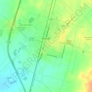
Pearsall topographic map
Interactive map
Click on the map to display elevation.
About this map
Name: Pearsall topographic map, elevation, terrain.
Location: Pearsall, Frio County, Texas, 780061, United States (28.86498 -99.12642 28.91176 -99.07276)
Average elevation: 191 m
Minimum elevation: 174 m
Maximum elevation: 214 m